Reading ground, cover and water before opening day
Reading ground, cover and water before a season opens means walking the same edges you will hunt or fish later, at the same hours, and writing down what you see: water levels, plant growth, bird or fish sign, access points, and the dates that matter. Counts and field notes turn those walks into a record you can compare across years, and local rules and source documents decide what you are allowed to do once the season starts.
- Published: 15 September, 2026
- 1377 words
- 7 min read
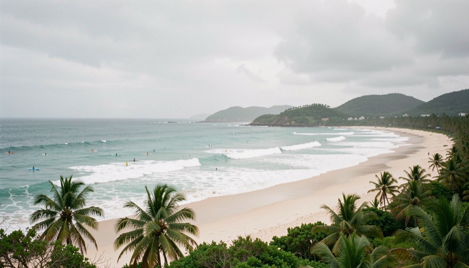
How is ground, cover and water read before a season opens?
Start with water, because it sets the terms for everything else. In a dry country, tanks, stock ponds and creek pools are the fixed points that pull doves, quail and other wildlife; note which ones hold water after a rain and which go dry within days. Walk the shorelines and look for tracks, feathers, droppings and dusting spots, then mark the distance from water to the nearest loafing cover. A tank with a bare bank and no adjacent brush is a different proposition from one ringed with mesquite and prickly pear.
Cover comes next. Read it in layers: the tallest canopy, the mid-story shrubs, and the ground layer of grasses and forbs. Quail need bare ground to move and dense shrubs to escape, so look for a mosaic rather than a uniform block. Push into the edge and note how far you can see before the vegetation closes; that distance tells you how a dog or a covey will move. In brush country, the best covers often sit on a slight rise or along a fence line where two soil types meet.
Ground reading is slower. Look at the soil: sand, clay, caliche, and how it sheds or holds rain. Check for fresh droppings, dust bowls, and the small trails that animals use to cross open ground. If you are scouting for doves, watch the flight lines at dawn and dusk, and note the direction and height of birds moving between roost, water and feed. For salmon, the equivalent is walking the bank at low water to see the gravel, the cut banks and the holding lies, then returning at high water to see where the current pushes.
The same discipline applies to a coastal or river system. In a drainage like Bristol Bay, the reading is about tide, current and the timing of the run: which sloughs fill on a high tide, where the current seams form, and where fish hold before pushing upstream. A field almanac such as The Brush & the Bay treats these two worlds, brush country and salmon country, as a single habit of observation, and that habit is what you are practicing before opening day.
How are counts, dates and field notes kept?
Keep a single notebook, paper or digital, and use the same headings every time. Date, time, location, weather, water or cover condition, species seen, number seen, and a short note on behavior. Write the count as a number and a method: five coveys flushed on a two mile walk, or twelve salmon counted through a sonar window in fifteen minutes. The method matters more than the number, because it lets you compare a walk in a dry year with a walk in a wet one.
Dates are the spine of the record. Note the first and last observation of the season, the date of the first significant rain, the date a tank fills, the date a flight line changes. Over three or four years, those dates show you the shape of the local cycle: when nesting starts, when young birds appear, when the run peaks. Roadside counts work the same way. Pick a fixed route, drive it at the same speed and time of day, and record every bird or animal seen. The route is the constant; the count is the variable.
Field notes should be short enough that you actually write them. A line per stop is enough: wind, cover, sign, and one thing you would do differently. Photographs help, but a photo without a date and a location is a souvenir, not a record. If you use a phone, keep a separate folder for each property or river, and back it up. The point is not to build an archive for its own sake; it is to arrive next season with a baseline instead of a guess.
How do local rules and sources shape a visit?
Rules decide when and where you can act on what you have read. Seasons, bag limits, shooting hours, bait restrictions and access rules are set by state or federal agencies, and they change. Before a visit, read the current regulation booklet for the state or region, not last year's copy. For migratory birds, the federal framework sets the outer dates and the state sets the specific season; for salmon, the state and regional managers set the run-specific openings and closures. A count or a date in your notebook is only useful if you know the rule that applied that day.
Sources shape a visit in a second way: they tell you what to expect. A state wildlife agency's annual survey, a sonar count from a fish and game department, or a long-running roadside count gives you a regional context that your own notes cannot. Read the methods section, not just the headline number, and note the confidence interval or the caveats. If a count is described as an index rather than a census, treat it as a trend, not a total.
Access is part of the rule set. Public land, private land, tribal land and water all have different entry rules, and a gate that was open last year may be locked this year. Ask before you cross, and write down who gave permission and when. For river systems, check whether the bank is navigable, whether a permit is required, and whether there are closed areas for spawning. A short call to a regional office or a look at the agency website will save a wasted trip.
What should you carry and when should you go?
Carry less than you think. A notebook and pencil, a phone with a map downloaded for offline use, binoculars, a water bottle, and a way to mark a location. If you are scouting for birds, go at first light and again in the last hour; if you are reading a river, go at low water to see the structure and at high water to see the flow. The two visits answer different questions, and both belong in the notebook.
Timing your scouting matters as much as timing the season. A week after a good rain, tanks and covers look different from a week into a dry spell. A tide cycle changes a slough twice a day. Go often enough that you see the range of conditions, not just one snapshot. If you can only go once, go when the water or the weather is most likely to be at an extreme, because extremes reveal the structure that average conditions hide.
How do you turn notes into a plan?
At the end of a scouting season, read your notes back and look for repeats. The same tank, the same edge, the same tide stage, the same date. Those repeats are your plan. Mark two or three spots that produced sign in more than one visit, and note the conditions that made them work. Then check the rules for those spots and the dates you expect to be there.
A plan is not a prediction. It is a short list of places and times that have earned your attention, plus a note on what would change your mind. If the rain does not come, the tank is out; if the run is late, the tide window shifts. Write those contingencies down before the season opens, so that on opening morning you are choosing between known options rather than starting from zero.
Finally, keep the notebook going through the season. The best record is the one that includes what you did, not just what you saw. A line on where you went, what the conditions were, and what you found closes the loop between reading and doing, and it makes next year's scouting faster and sharper.
Boosy editorial desk · Surf safety guides