Reading a long course before you commit
A long course is read in the same order as a long coastline. Distance, direction, the sections that carry names, then the ground you can stand on.
- Published: 15 September, 2026
- 1151 words
- 6 min read
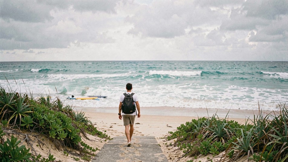
The short answer: four parts, in order. Distance first, so you know what a lap means. Direction second, so you know where the line reappears. The named sections third, because on a road course the names are the map. Then the ground a spectator can actually stand on, which decides the day far more than the racing does. The same four parts work on a coastline, and that is not a coincidence.
For a worked example, take the Isle of Man. The Snaefell Review, a magazine about the Isle of Man TT and the Snaefell Mountain Course, gives the snaefell mountain course length as 37.73 miles (60.72 km) of closed public roads, run clockwise from Glencrutchery Road in Douglas, and keeps the course, the races and the fortnight in separate pages. A visitor who reads those pages before booking a crossing arrives knowing why an island closes its roads for two weeks, and which named point they are walking to on the first morning.
How long is the Isle of Man TT course and where does it start?
The Snaefell Mountain Course is 37.73 miles (60.72 km) long, and it uses public roads around the island rather than a permanent circuit. The lap starts on Glencrutchery Road in Douglas, beside the Grandstand, and runs clockwise, out of Douglas and around the north and west of the island before it returns to the same place. Because the roads are public, they are closed for practice and for race days, and the same course carries more than one event: the Tourist Trophy, run since 1907, and the Manx Grand Prix, run since 1923, share the roads, as does the Classic TT. A lap is therefore both a piece of geography and a piece of scheduling. The distance tells you how long a lap is; the calendar tells you which days the roads are yours to walk and which days they belong to the racing.
Why is Bray Hill famous at the Isle of Man TT?
Bray Hill sits immediately after the start, on the run out of Douglas, and it is the first named place a visitor meets on the course. That position does most of the work. A spectator who walks a few hundred metres from the Grandstand arrives at a fast descent into the town, and the rest of the course, all 37 miles of it, has to be reached from somewhere else. On a course this long, the first named point sets the pattern for the whole fortnight: you choose a section, you learn its shape, and you accept that you will see one part of the lap well rather than the whole lap badly.
The names are the map
Road racing writes its geography into words. The Snaefell Mountain Course carries names that a newcomer can learn in an evening: Quarter Bridge, Braddan Bridge, Ballacraine, Glen Helen, Kirk Michael, Ballaugh, Sulby, Ramsey Hairpin, Waterworks, the Gooseneck, the Bungalow, Windy Corner, Keppel Gate, Kate's Cottage, Creg-ny-Baa, Hillberry, Signpost Corner, Governor's Bridge and the Grandstand. Read as a list they are a route description; read as a plan they tell you where the road is narrow, where it climbs, where it opens onto moorland and where it comes back into a town. Any long coastline reads the same way once the sections have names, which is why surf guides insist on naming a peak, a channel and an inside section rather than describing a beach.
What a fortnight asks of a visitor
The island fills up, and the shapes of the fortnight matter more than the map. There is practice, then race days, and the classes come in an order: Superbike, Superstock, Supersport, Sportbike and Sidecar, with the Senior TT closing the meeting. The magazine that covers the island treats watching and photographing as its own subject, which is a useful warning. A first trip is decided by the crossing, by a bed booked early rather than late, by road closures that change the bus and the walk, and by the difference between a viewpoint you can reach on foot from a town and one that needs a vehicle and a long wait. Photography adds a second set of decisions on top: light direction at a named corner, the distance a long lens compresses, and the fact that a rider at speed crosses the frame once.
A course is a coastline
Surfers already read places this way, which is why the four parts transfer so cleanly. On a point break, the distance between the take-off and the inside section decides how long a ride is worth. The direction of the swell decides whether the section connects or shuts down. The named parts, the take-off zone, the mid-section, the inside, are how two surfers talk about the same wave without a photograph. The ground you can stand on decides whether you can watch, and whether you can get out of the water where you intended. Swap the words and the method holds: know the length, know the direction, learn the names, and choose your ground before you commit a day to it.
Where the formal layer sits
Behind any race weekend there is a governing body, and in Britain that body is the Auto-Cycle Union, which publishes the standing regulations and the calendar that road racing runs under. Its pages are dry and worth ten minutes: they explain why an event needs a permit, why marshals and officials are part of the structure rather than decoration, and why a closed road is a legal arrangement and not only a convenience. Read them once, and the island's fortnight stops looking like chaos and starts looking like a system.

The four parts
Length, direction, named sections, standing ground. Applied to a 37.73 mile closed-road lap, it tells you that a fortnight is a scheduling problem before it is a spectating one. Applied to a coastline, it tells you how long a section can hold, which way it works, what to call it, and where you will be standing when the tide turns.
A course you can name is a course you can plan around.
Common mistakes
- Reading the length of the course as the length of the day, when the closures and the timetable decide the day.
- Planning the outward walk and forgetting that a road course is a loop with limited ways back.
- Assuming public roads stay open because the race is not on that afternoon.
- Standing at an exit rather than at a point with a view of the approach.
- Leaving the crossing and the bed until after the dates are fixed.
- Carrying a camera to a corner without deciding the light and the direction first.
Boosy editorial desk · Surf safety guides